Space4Cities – Urban Energy Scan

Platform for analyzing and simulating energy consumption of Buildings in cities and municipalities
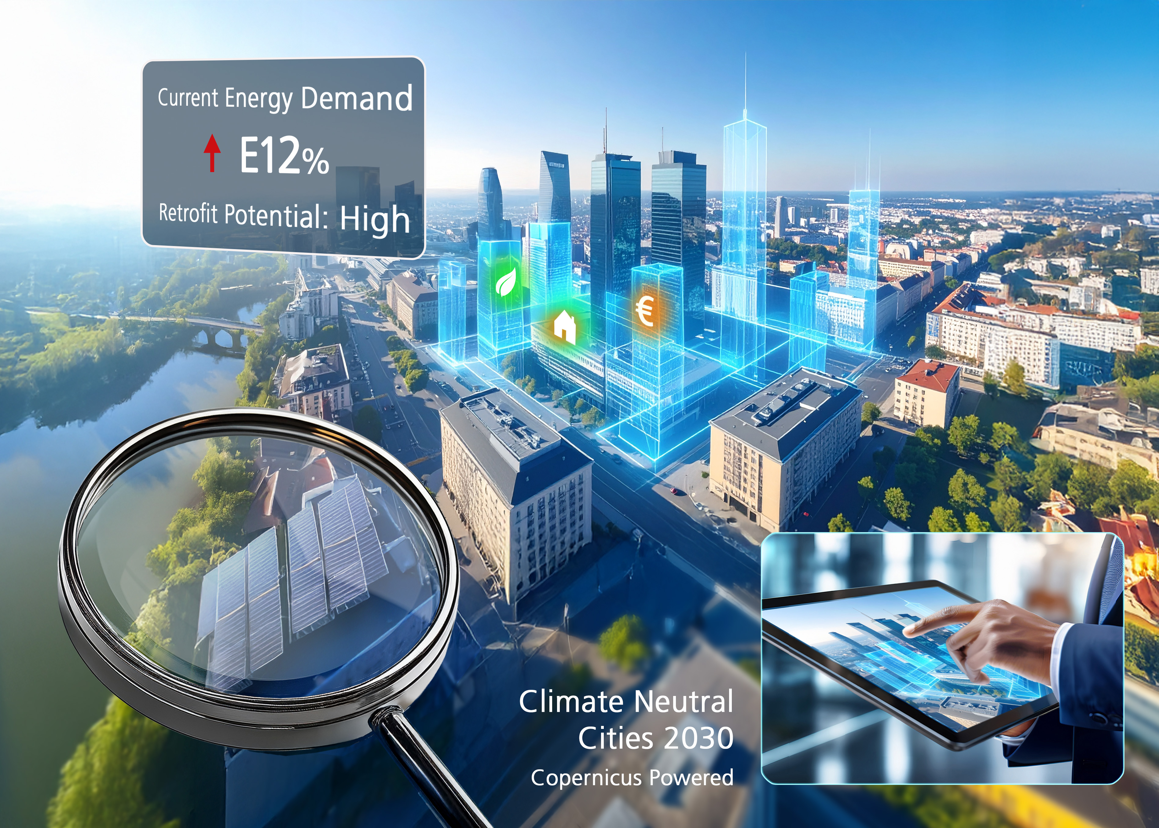
© AI generated

Efficient urban energy planning with AI, geodata and satellite data

Reducing energy consumption is one of the most important goals of European and German cities - from an economic, environmental and legal perspective. However, in order to take effective measures and become more climate-resilient, municipal planners, political decision-makers and urban developers need valid data. The problem: accurate and scalable information on the building stock and energy requirements is often outdated or incomplete - or missing altogether.

The Space4Cities - Urban Energy Scan project, together with Pauliyni and Partners, is therefore developing an AI-based platform for simulating the energy consumption of buildings and neighborhoods. Fraunhofer IIS is developing methods that combine AI models with satellite-based Earth Observation (EO) to automatically extract relevant building and location data. By linking EO, AI and digital twins, data is obtained, processed and made usable for forward-looking urban energy planning. To this end, selected building attributes are collected from geodata and satellite data, linked with energy models and merged on a simulation platform.

AI- and satellite-based identification and analysis of building and location data

Methods and approach

  • Integrated data linking: combination of Copernicus data (Sentinel, DEM, Climate Change Service, Land Monitoring Service) with high-resolution images and cadastral data
  • Automated EO-AI pipelines: Deep learning methods (ex : Vision Transformers) for extracting building floor plans, façade types and window-to-wall ratios as well as for detecting changes
  • Digital twins and dashboards: visualization of results in interoperable formats (SHP, IFC, CityGML), linking with energy simulation tools such as City Energy Analyst and Civil 3D, display in interactive KPI dashboards for scenario-based decisions
  • Scalable and modular structure: Harmonized data sets, based on open standards (FIWARE interoperability), enable reusability and rapid integration into various urban planning systems

Goal: Urban energy and smart city applications

The platform to be developed in the EU project Space4Cities is intended to support cities and municipalities in implementing sustainable energy strategies in the future. Among other things, it enables

  • Simulation of energy-related renovation and retrofitting measures at building and district level
  • Analysis of building-related emissions to assess climate protection potential
  • Planning climate-neutral municipal energy strategies with reliable data
  • Integration of earth observation-based (EO) data into urban energy models, e.g. to create digital twins

This enables cities to reduce emissions and consumption in a targeted manner, better plan refurbishment and retrofitting measures - for example in the context of renewable energies - and reliably meet legal requirements. This strengthens the resilience and climate neutrality of urban areas.

You might also be interested in


Research focus

Data-centered spatial and risk research

We use AI to analyze geographic imagery and natural language text for greater civil security, more resilient supply chains and more sustainable location decisions: For more transparency and certainty in decision-making.