Data-centred spatial and risk research

© Adobe Stock / fotograupner – stock.adobe.com / Bearbeitung Fraunhofer IIS
Datenzentrierte Raum- und Risikoforschung

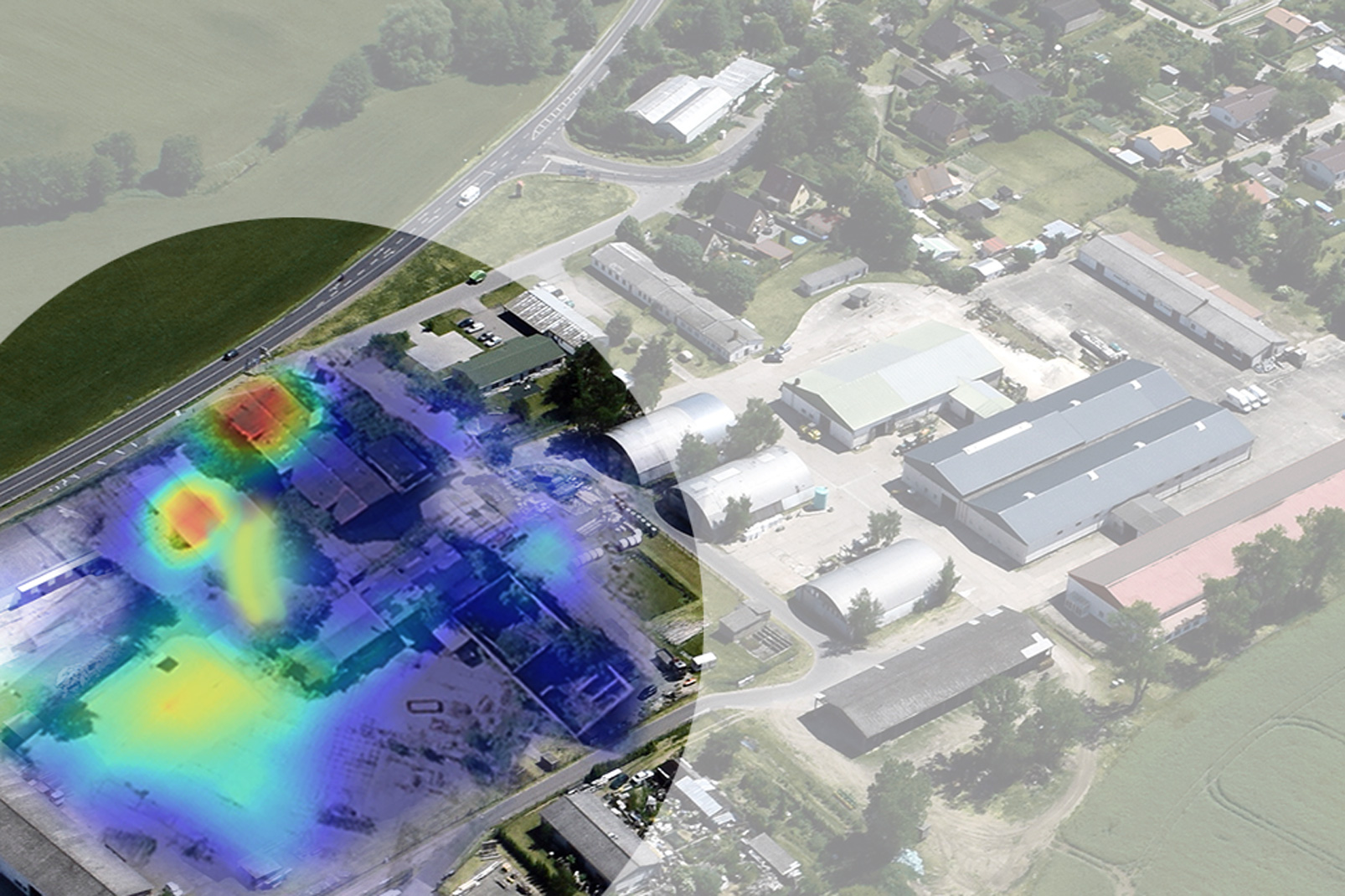
In the research focus »Data-centred spatial and risk research«, we use AI-supported methods based on geo- and remote sensing data as well as text and sensor analyses to increase civil security, promote resilient supply chains and enable more economical and sustainable location decisions.


Our experts combine economic framework data with their comprehensive understanding of the market and industry, with new methods for AI-supported image analysis and methods of empirical social research. In this way, complex economic relationships can be comprehensively analysed from a new perspective and spatially localised. For more transparency and certainty in decision-making.

Our subject areas


Analysing and shaping civil security


Supply Chain Risk Management


Market transparency through location analyses

References

Organisation

»Risk and location analyses« division

The department develops data-based solutions for greater civil security, more resilient supply chains and sustainable location decisions. With a strong understanding of the market and industry, research focuses on data-centred spatial and risk research. The experts rely on AI-supported remote sensing, geoinformation and empirical social research to analyse and locate complex economic relationships.


Project

GRANERGIZE - Energy-efficient logistics properties

In the project, we are developing a knowledge graph for the energy management of logistics properties. The graph integrates consumption, location and environmental information and enables cross-company access to relevant data, thereby promoting energy efficiency and compliance with new regulatory requirements.

Project

INSIGHT – Knowledge Graphs und Large Language Models in der Industrie

The Fraunhofer INSIGHT project uses knowledge graphs and large language models to efficiently analyse unstructured and structured data in industry. The aim is to economically establish semantic AI technologies for the automation of processes such as sustainability reporting and logistics location planning. One example is holistic logistics location planning, in which external factors are evaluated in order to make well-founded decisions.


Comprehensive identification of brownfield sites with AI

The ARGOS project aims to realise a nationwide, AI-supported extraction of brownfield sites from geodata, aerial and satellite images. The aim is to develop an online information platform on brownfields that provides an up-to-date overview of potential location options for commercial property projects.


The market for mission support systems

The study provides an overview of software for non-police emergency response, identifies digitalisation needs and obstacles and aims to make the IT market for operational support systems more transparent. It is aimed at procurers in fire and rescue services and asks for feedback to improve the market overview.